Aug 15, 2012
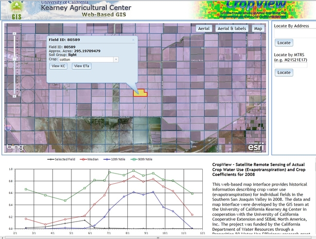
KARE's GIS Facility recently posted the Field-Level Water Management for Growers and Planners map interface. The site supports user-defined inputs including field site, soil type, crop type, irrigation method, and the typical range of Kc’s. Users will be able to access the website and navigate to an area of interest (county, township or field level) and use built-in query tools to retrieve a range of crop coefficients for that area. http://webgis.uckare.org/prop50/ Field-Level Water Management Tool